|
|
|
||||
|
||||||
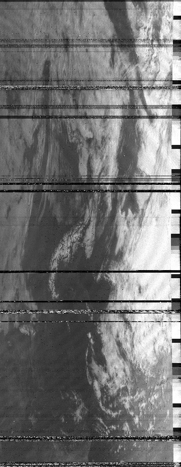
This is a collection of images which I received in the early 1990s from the American weather satellite NOAA9. For some of them I cannot reproduce the exact date and the setup I used. |
||||||
|
||||||
|
|
|
||||
|
||||||
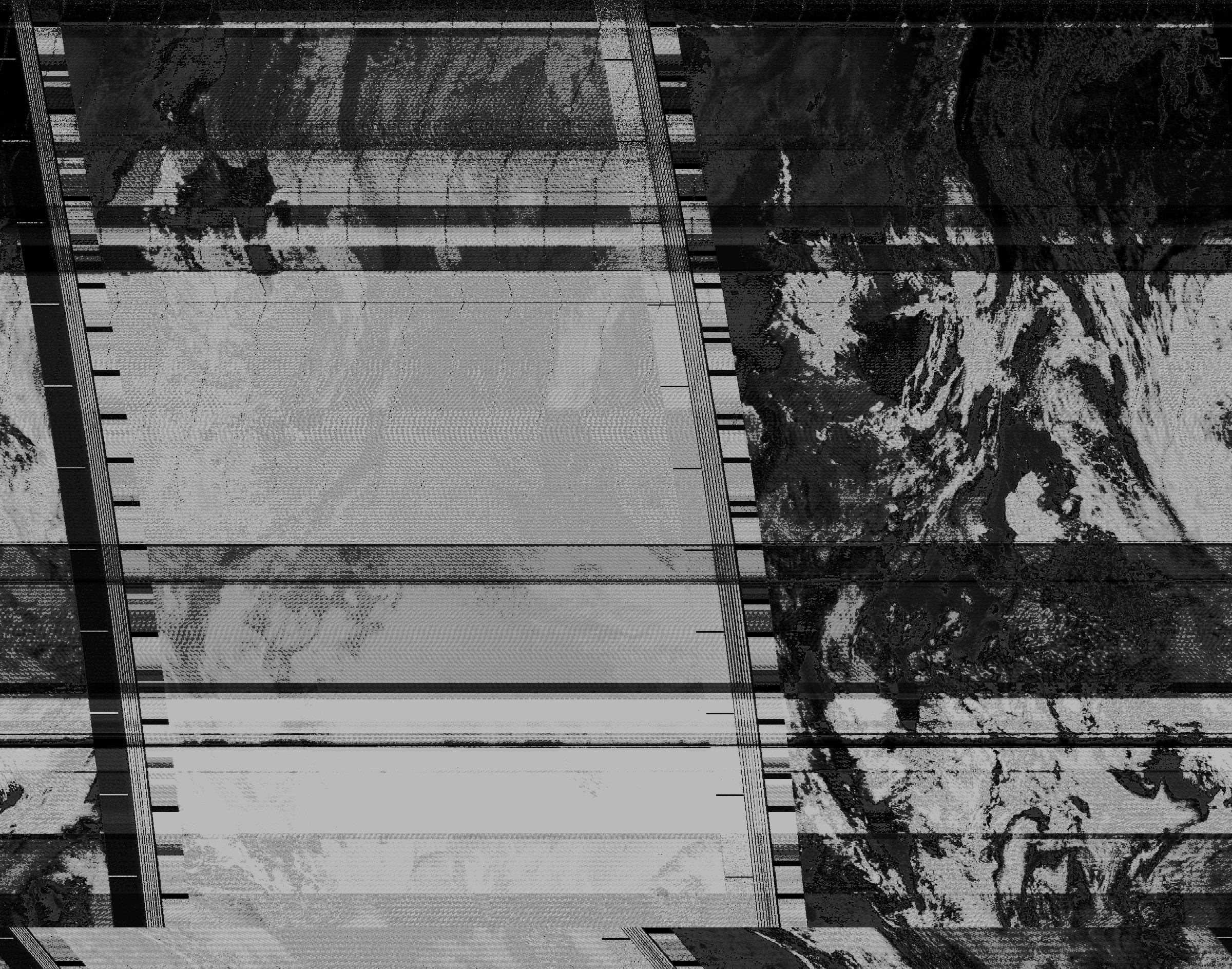
This is a collection of images which I received in the early 1990s from the American weather satellite NOAA9. For some of them I cannot reproduce the exact date and the setup I used. |
||||||
|
||||||